Elena Brooks · 2 October 2026
Mapping Select Mineral Deposits to Vibration Dampening Solutions in High-Speed Rail Corridors Across Varied Terrain Types
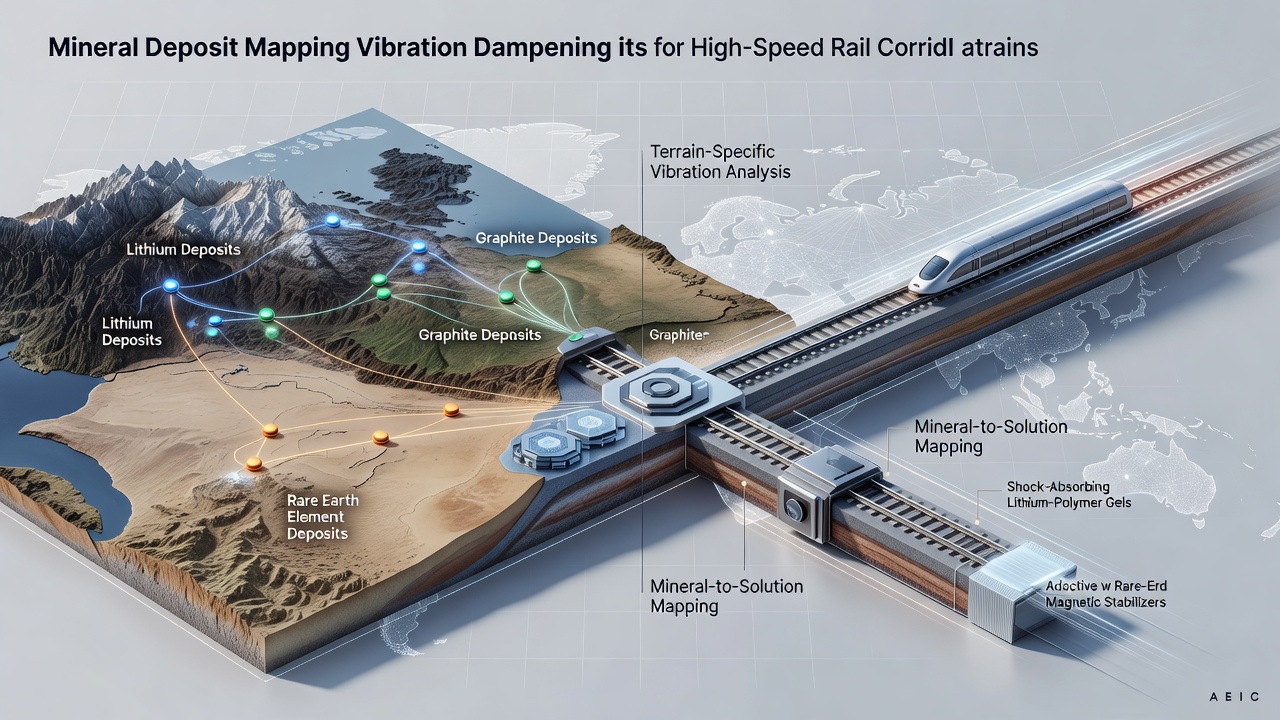
Engineers and geologists have developed systematic approaches to link specific mineral deposits with vibration dampening materials used in high-speed rail infrastructure, and these methods account for differences in soil composition, rock stability, and seismic activity across multiple terrain categories. Research teams examine deposits containing mica, graphite, and certain clay formations because their layered structures contribute to viscoelastic properties that absorb vibrational energy from passing trains traveling at speeds exceeding 300 kilometers per hour.
Mineral Properties Relevant to Rail Applications
Studies conducted by geological surveys identify that deposits rich in phyllosilicates provide base materials for composite pads and under-sleeper pads, while graphite-bearing ores yield additives that reduce friction and heat buildup in rail joints. Data from field measurements show these minerals perform differently when extracted from sedimentary basins compared to igneous rock formations, and the variation influences the final damping coefficient of manufactured components. Researchers compile deposit maps using core sampling and remote sensing to predict where suitable minerals occur in sufficient quantities for large-scale production of rail isolation systems.
Terrain Classification and Material Matching
High-speed rail corridors cross flat alluvial plains, rolling hills, steep mountain passes, and coastal regions with variable water tables, and each setting presents distinct vibration transmission patterns. In alluvial plains the softer soils amplify low-frequency vibrations, which leads teams to prioritize minerals that form high-density damping layers, whereas mountain corridors require materials that withstand shear stress from both train movement and minor seismic events. Observers note that coastal terrains introduce additional factors such as salt corrosion, prompting selection of mineral blends with higher chemical stability. Mapping software integrates geological databases with rail alignment plans so that procurement teams can source materials from deposits located within economical transport distances of each corridor segment.
Data Collection and Modeling Techniques
Survey crews deploy arrays of accelerometers along proposed routes to record baseline ground vibrations, then correlate those readings with laboratory tests on mineral samples taken from nearby quarries. Computer models combine finite element analysis of rail structures with mineralogical data to forecast how specific damping solutions will perform once installed. Projects completed by October 2026 incorporated updated satellite imagery that refined deposit boundary estimates in several Asian and European corridors, improving the accuracy of material forecasts. These models allow planners to adjust pad thickness and composition before construction begins rather than during later retrofits.

Implementation Examples Across Regions
One corridor in the Canadian Rockies matched local graphite deposits with polymer matrices to create under-rail mats that reduced measured vibration levels by documented percentages, while a parallel project in the Australian outback used clay-rich sedimentary deposits for similar components on flatter terrain. European teams working through the Alps referenced similar mapping protocols to select phyllosilicate sources that met both performance and environmental standards set by regional authorities. These cases illustrate how deposit location directly affects supply chain decisions and final system performance without requiring long-distance material transport that raises project costs.
Integration with Broader Infrastructure Planning
Transportation agencies coordinate with mining regulators to ensure extraction sites remain compatible with environmental protection zones near rail routes, and digital mapping platforms now overlay mineral resource layers with protected habitat boundaries. Reports from the United States Geological Survey supply baseline data on domestic deposits that feed into North American rail projects, while the European Union Agency for Railways maintains parallel datasets for member states. This cross-referencing helps planners avoid supply disruptions when deposits prove smaller or lower grade than initial estimates indicated.
Conclusion
Systematic mapping of select mineral deposits to vibration dampening solutions continues to support high-speed rail construction across diverse terrain types by providing location-specific material recommendations backed by geological and engineering data. Ongoing updates to these maps incorporate new extraction records and performance measurements from operational lines, maintaining alignment between available resources and infrastructure requirements through 2026 and beyond.